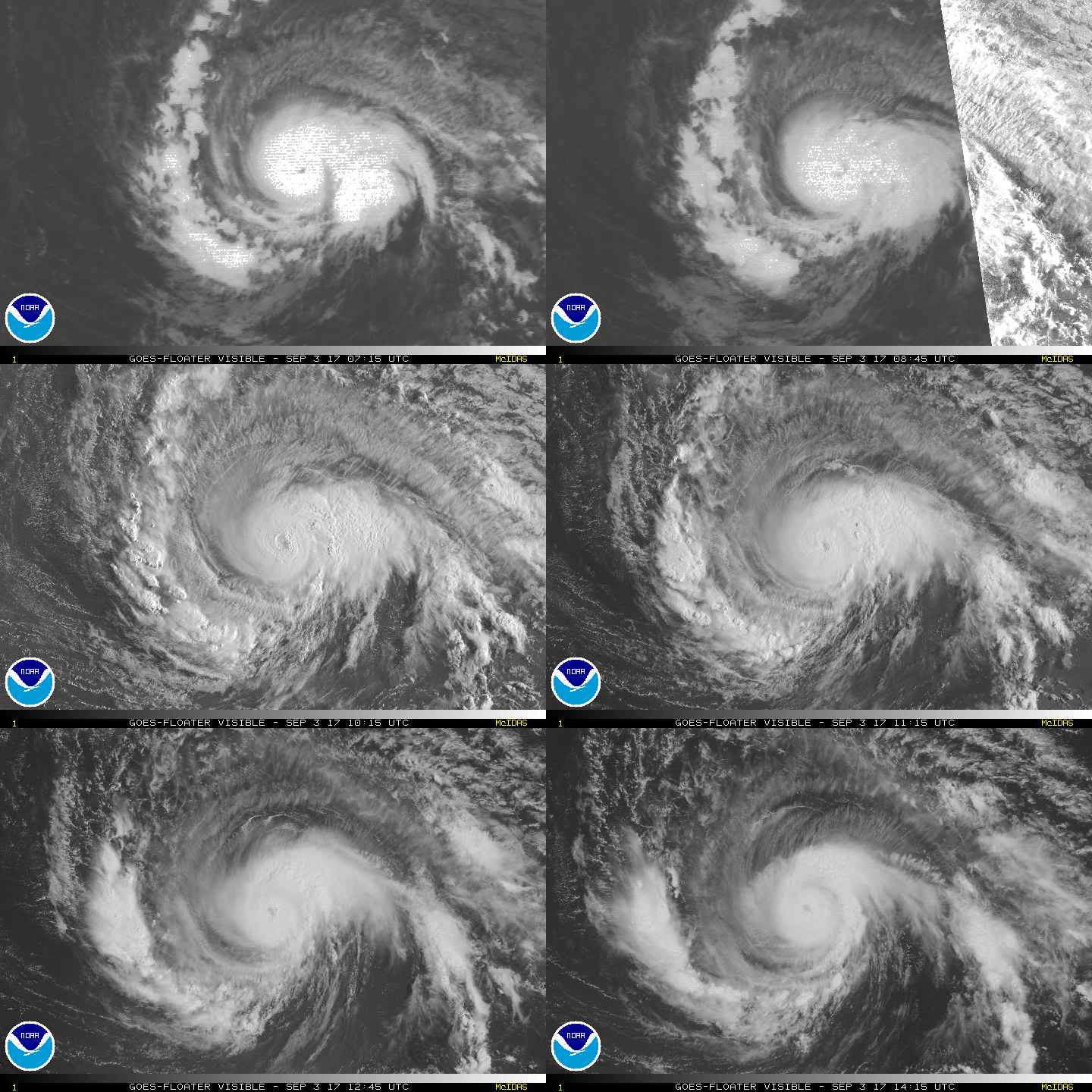
IRMA: 5 Charts Showing Where Hurricane Irma Might Land
ZeroHedge.com
For anyone wondering why meteorologists can’t say for certain where Hurricane Irma – now a category 3 storm – might land in the US, Jonathan Erdman, a senior meteorologist at Weather.com, has an explanation. First, let’s look at the National Hurricane Center current forecast cone, a five-day forecast.
According to NHC statistics, the average error in a five-day forecast path of the center in 2016 was about 194 miles. While NHC track forecasts have improved over the years, this is still a sizable error at five days, roughly the distance between Miami and Cape Canaveral, or from midtown Manhattan to Martha’s Vineyard.
A basic tenet of numerical weather prediction is that small errors grow with time. If the five-day track error is already almost 200 miles, imagine what a 10-plus-day track error would be?
So, in the spirit of offering a more comprehensive assessment of where the hurricane might land, Erdman recommends looking at what’s called an ensemble model. Instead of using one set of parameters, economists use a range of initial conditions.
The ensemble forecast from the European Centre for Medium-Range Weather Forecasts can be seen below, in grey. The data are current as of Aug. 31 at 8 p.m. EDT. As Weather.com notes, readers can hardly see the US map below the mess of possible tracks, extending from south of Newfoundland to the Gulf of Mexico…
…And here’s another set of projections from NOAA.
Of course, forecasting the path of a hurricane with complete certainty is impossible. All meteorologists can say with some degree of accuracy is that the US East Coast and the Gulf of Mexico should be paying attention.
While it’s difficult to neatly sort a hurricane into a series of scenarios, meteorologists at Weather.com created illustrations showing what an east-coast landfall – as well as a near miss – might look like.
Ultimately, whether Irma hits the East Coast will depend on the Bermuda-Azores high, the primary steering wheel for Atlantic tropical cyclones.
“When this high is strong and expansive in west-to-east extent and/or there’s little or no southward plunge of the jet stream anywhere near the eastern U.S., an approaching hurricane would be steered westward into the Caribbean Sea, Gulf of Mexico or East Coast.”
While the path and precise landfall of the storm is still unclear, at least one metereologist has described Irma’s 180-mph winds as “the highest windspeed forecasts I’ve ever seen in my 10 yrs of Atlantic hurricane forecasting.”
These are the highest windspeed forecasts I've ever seen in my 10 yrs of Atlantic hurricane forecasting. #Irma is another retiree candidate. pic.twitter.com/e6nMsp1myY
— Mike Ventrice (@MJVentrice) August 31, 2017
Meteorologists should have a clearer picture of what to expect in a few days. After seeing photos of the flooding in Texas, we imagine homeowners along the Atlantic seaboard, not to mention the Gulf of Mexico, will be nervously awaiting more news.
___
http://www.zerohedge.com/news/2017-09-02/here-are-5-charts-showing-where-hurricane-irma-might-land


