
‘Substantial’ El Nino event predicted
By Helen Briggs
BBC Environment correspondent
The El Nino weather pattern, which can drive droughts and flooding, is underway in the tropical Pacific for the first time in five years, say scientists.
Australia’s Bureau of Meteorology predicted that it could be a “substantial” event.
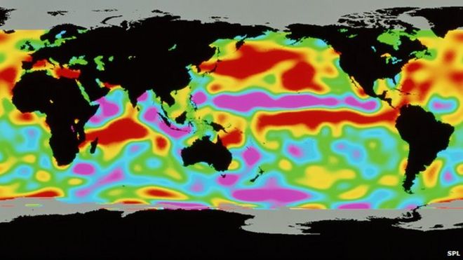
The phenomenon arises from variations in ocean temperatures.
The El Nino is still in its early stages, but has the potential to cause extreme weather around the world.
US scientists announced earlier in April that El Nino had arrived, but it was described then as “weak”.
Australian scientists said models suggested it could strengthen from September onwards, but it was too early to determine with confidence how strong it could be.
“This is a proper El Nino effect, it’s not a weak one,” David Jones, manager of climate monitoring and prediction at the Bureau of Meteorology, told reporters.
“You know, there’s always a little bit of doubt when it comes to intensity forecasts, but across the models as a whole we’d suggest that this will be quite a substantial El Nino event.”
El Nino had been expected during last year’s record-breaking temperatures, but failed to materialise.
Weather patterns
The last El Nino five years ago was linked with monsoons in Southeast Asia, droughts in southern Australia, the Philippines and Ecuador, blizzards in the United States, heatwaves in Brazil and extreme flooding in Mexico.
El Nino is a warming of the Pacific Ocean as part of a complex cycle linking atmosphere and ocean.
It is known to disrupt weather patterns around the world, and can bring wetter winters to the southwest US and droughts to northern Australia.
The consequences of El Nino are much less clear for Europe and the UK.
Research suggest that extreme weather events like El Nino will become more intense as global temperatures rise.